
双河镇 topographic map
Interactive map
Click on the map to display elevation.
About this map
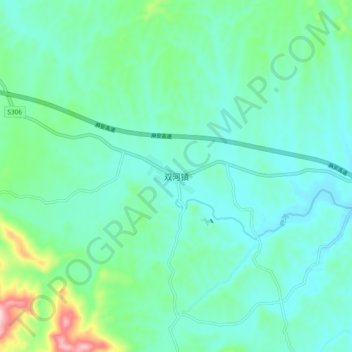
Name: 双河镇 topographic map, elevation, terrain.
Location: 双河镇, 随县, 随州市, 湖北省, 中国 (31.63559 112.77782 31.71559 112.85782)
Average elevation: 653 ft
Minimum elevation: 469 ft
Maximum elevation: 1,398 ft
Other topographic maps
Click on a map to view its topography, its elevation and its terrain.