
Ruisseau de la Fagne à la Goutte topographic map
Interactive map
Click on the map to display elevation.
About this map
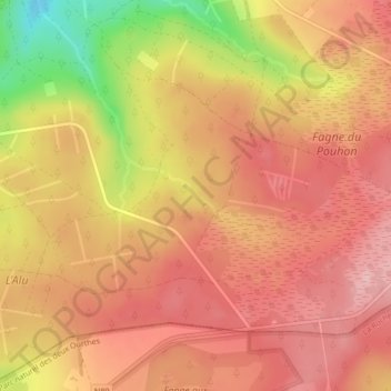
Name: Ruisseau de la Fagne à la Goutte topographic map, elevation, terrain.
Average elevation: 1,883 ft
Minimum elevation: 1,506 ft
Maximum elevation: 2,064 ft