
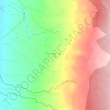
Pegagan Julu V topographic map
Interactive map
Click on the map to display elevation.
About this map
Name: Pegagan Julu V topographic map, elevation, terrain.
Location: Pegagan Julu V, Dairi, North Sumatra, Indonesia (2.68863 98.47484 2.72863 98.51484)
Average elevation: 5,010 ft
Minimum elevation: 4,610 ft
Maximum elevation: 5,440 ft