
Santa Procula topographic map
Interactive map
Click on the map to display elevation.
About this map
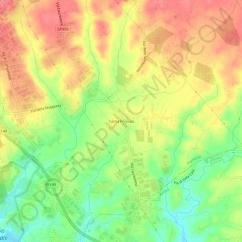
Name: Santa Procula topographic map, elevation, terrain.
Location: Santa Procula, Pomezia, Roma Capitale, Lazio, Italia (41.64717 12.52111 41.68717 12.56111)
Average elevation: 249 ft
Minimum elevation: 118 ft
Maximum elevation: 358 ft