
Salema topographic map
Interactive map
Click on the map to display elevation.
About this map
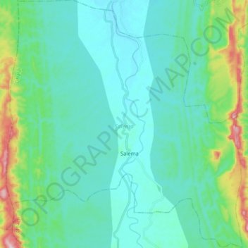
Name: Salema topographic map, elevation, terrain.
Location: Salema, Dhalai, Tripura, India (23.95731 91.75573 24.10351 91.90895)
Average elevation: 371 ft
Minimum elevation: 131 ft
Maximum elevation: 1,457 ft