
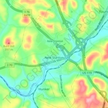
New Stanton topographic map
Interactive map
Click on the map to display elevation.
About this map
Name: New Stanton topographic map, elevation, terrain.
Average elevation: 1,066 ft
Minimum elevation: 912 ft
Maximum elevation: 1,345 ft
Other topographic maps
Click on a map to view its topography, its elevation and its terrain.
Stanton Heights
United States > Pennsylvania > Westmoreland County > New Stanton > Stanton Heights
Stanton Heights, New Stanton, Westmoreland County, Pennsylvania, 15639, United States
Average elevation: 1,073 ft
Paintersville
United States > Pennsylvania > Westmoreland County > New Stanton > Paintersville
Paintersville, New Stanton, Westmoreland County, Pennsylvania, 15672, United States
Average elevation: 1,063 ft