
Serra de ses Cordelleres topographic map
Interactive map
Click on the map to display elevation.
About this map
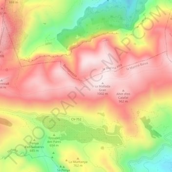
Name: Serra de ses Cordelleres topographic map, elevation, terrain.
Average elevation: 2,448 ft
Minimum elevation: 1,302 ft
Maximum elevation: 3,271 ft
Other topographic maps
Click on a map to view its topography, its elevation and its terrain.
Es Xap
España > Comunidad Valenciana > Tárbena
Es Xap, Tárbena, La Marina Baja, Alicante, Comunidad Valenciana, 03518, España
Average elevation: 2,152 ft