
亭湖区 topographic map
Interactive map
Click on the map to display elevation.
About this map
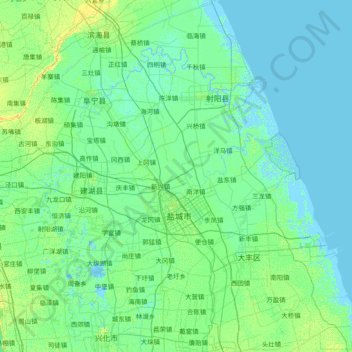
Name: 亭湖区 topographic map, elevation, terrain.
Location: 亭湖区, 盐城市, 江苏省, 中国 (33.16738 119.97634 33.81248 121.47695)
Average elevation: 7 ft
Minimum elevation: -10 ft
Maximum elevation: 43 ft
Other topographic maps
Click on a map to view its topography, its elevation and its terrain.