
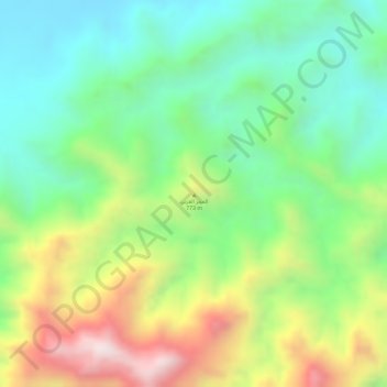
Al Hajar topographic map
Interactive map
Click on the map to display elevation.
About this map
Name: Al Hajar topographic map, elevation, terrain.
Location: Al Hajar, البريمي, Al Buraymi, Oman (24.17005 56.24991 24.17015 56.25001)
Average elevation: 2,566 ft
Minimum elevation: 1,811 ft
Maximum elevation: 3,727 ft