
Aïn Bouras topographic map
Interactive map
Click on the map to display elevation.
About this map
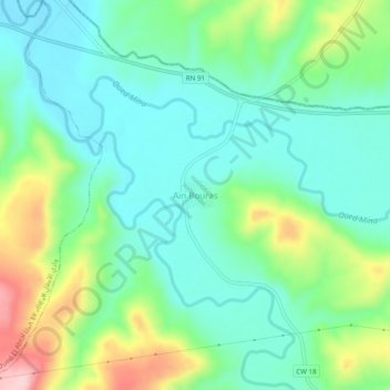
Name: Aïn Bouras topographic map, elevation, terrain.
Location: Aïn Bouras, daïra Oued El Abtal, Mascara, RADP (35.42123 0.75512 35.46123 0.79512)
Average elevation: 981 ft
Minimum elevation: 771 ft
Maximum elevation: 1,490 ft