
芦北町 topographic map
Interactive map
Click on the map to display elevation.
About this map
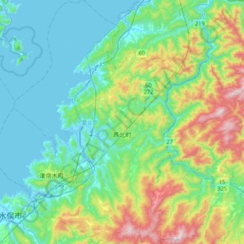
Name: 芦北町 topographic map, elevation, terrain.
Location: 芦北町, 葦北郡, Prefectura de Kumamoto, Japón (32.18251 130.41308 32.43613 130.64223)
Average elevation: 748 ft
Minimum elevation: -10 ft
Maximum elevation: 3,094 ft