
江岸村 topographic map
Interactive map
Click on the map to display elevation.
About this map
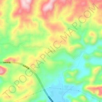
Name: 江岸村 topographic map, elevation, terrain.
Location: 江岸村, 天等县, 崇左市, 广西壮族自治区, 中国 (22.91881 106.86564 22.95881 106.90564)
Average elevation: 1,946 ft
Minimum elevation: 1,371 ft
Maximum elevation: 2,654 ft
Other topographic maps
Click on a map to view its topography, its elevation and its terrain.