
Yakama topographic map
Interactive map
Click on the map to display elevation.
About this map
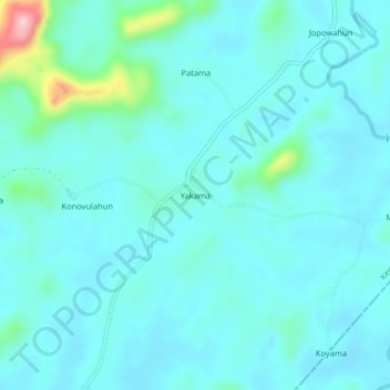
Name: Yakama topographic map, elevation, terrain.
Location: Yakama, Kenema District, Eastern Province, Sierra Leone (8.10056 -10.97887 8.14056 -10.93887)
Average elevation: 617 ft
Minimum elevation: 522 ft
Maximum elevation: 1,227 ft
Other topographic maps
Click on a map to view its topography, its elevation and its terrain.
Setema
Sierra Leone > Kenema District
Setema, Kenema District, Eastern Province, Sierra Leone
Average elevation: 935 ft
Kenema
Sierra Leone > Kenema District > Kenema
Kenema, Kenema District, Eastern Province, EASTERN, Sierra Leone
Average elevation: 614 ft