
Torrijas topographic map
Interactive map
Click on the map to display elevation.
About this map
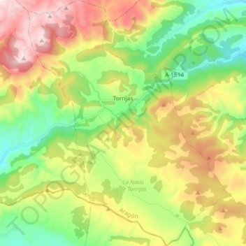
Name: Torrijas topographic map, elevation, terrain.
Location: Torrijas, Gúdar-Javalambre, Teruel, Aragón, España (39.95608 -1.01382 40.06772 -0.89586)
Average elevation: 4,731 ft
Minimum elevation: 3,497 ft
Maximum elevation: 6,503 ft