
Robie Creek topographic map
Interactive map
Click on the map to display elevation.
About this map
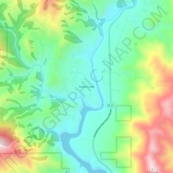
Name: Robie Creek topographic map, elevation, terrain.
Location: Robie Creek, Boise County, Idaho, États-Unis d'Amérique (43.61307 -116.01509 43.65307 -115.97509)
Average elevation: 3,658 ft
Minimum elevation: 2,999 ft
Maximum elevation: 4,970 ft