
Cantariwis topographic map
Interactive map
Click on the map to display elevation.
About this map
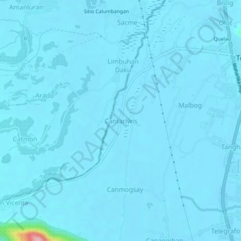
Name: Cantariwis topographic map, elevation, terrain.
Average elevation: 20 ft
Minimum elevation: -3 ft
Maximum elevation: 584 ft
Other topographic maps
Click on a map to view its topography, its elevation and its terrain.
Telegrafo
Philippines > Leyte > Tolosa
Telegrafo, Tolosa, Leyte 1st District, Leyte, Eastern Visayas, 6503, Philippines
Average elevation: 56 ft