
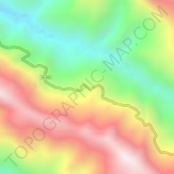
Yanacocha topographic map
Interactive map
Click on the map to display elevation.
About this map
Name: Yanacocha topographic map, elevation, terrain.
Location: Yanacocha, Sandia, Puno, Peru (-14.19245 -69.25531 -14.19129 -69.25134)
Average elevation: 6,273 ft
Minimum elevation: 5,030 ft
Maximum elevation: 7,493 ft