
Manggarai topographic map
Interactive map
Click on the map to display elevation.
About this map
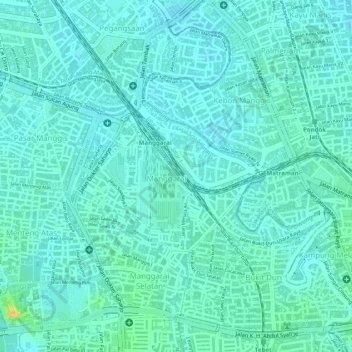
Name: Manggarai topographic map, elevation, terrain.
Location: Manggarai, Tebet, Jakarta Selatan, Jakarta, 12850, Indonésie (-6.21913 106.84402 -6.20755 106.85832)
Average elevation: 49 ft
Minimum elevation: 26 ft
Maximum elevation: 121 ft
Other topographic maps
Click on a map to view its topography, its elevation and its terrain.