
Nagar Untari topographic map
Interactive map
Click on the map to display elevation.
About this map
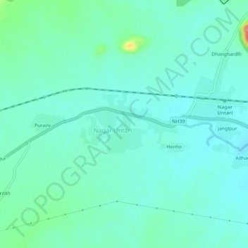
Name: Nagar Untari topographic map, elevation, terrain.
Location: Nagar Untari, Nagaruntari, Garhwa, Jharkhand, 822121, India (24.26147 83.47587 24.30147 83.51587)
Average elevation: 823 ft
Minimum elevation: 764 ft
Maximum elevation: 1,073 ft