
sandy island topographic map
Interactive map
Click on the map to display elevation.
About this map
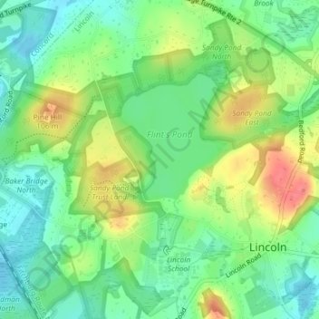
Name: sandy island topographic map, elevation, terrain.
Location: sandy island, Lincoln, Middlesex County, Massachusetts, USA (42.43313 -71.31666 42.43353 -71.31618)
Average elevation: 249 ft
Minimum elevation: 167 ft
Maximum elevation: 377 ft
Other topographic maps
Click on a map to view its topography, its elevation and its terrain.
Walden Pond
USA > Massachusetts > Lincoln
Walden Pond, Pond Path, Lincoln, Middlesex County, Massachusetts, 01733, USA
Average elevation: 200 ft