
Vassfjellet topographic map
Interactive map
Click on the map to display elevation.
About this map
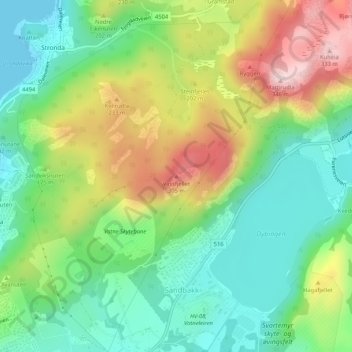
Name: Vassfjellet topographic map, elevation, terrain.
Location: Vassfjellet, Sandbakk, Sandnes, Rogaland, 4309, Norvège (58.87010 5.79248 58.87020 5.79258)
Average elevation: 407 ft
Minimum elevation: 0 ft
Maximum elevation: 1,093 ft