
Sungai Batu topographic map
Interactive map
Click on the map to display elevation.
About this map
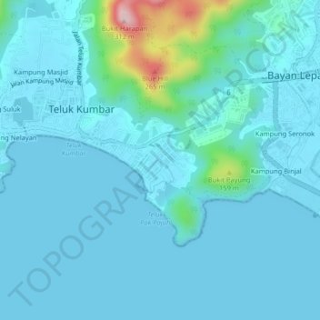
Name: Sungai Batu topographic map, elevation, terrain.
Location: Sungai Batu, Barat Daya, Penang, 11920, Malaysia (5.26419 100.22231 5.30419 100.26231)
Average elevation: 108 ft
Minimum elevation: 0 ft
Maximum elevation: 1,010 ft