
Fingal topographic map
Interactive map
Click on the map to display elevation.
About this map
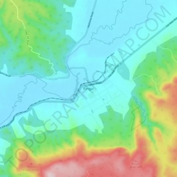
Name: Fingal topographic map, elevation, terrain.
Location: Fingal, Tasmania, Australia (-41.67984 147.92990 -41.59984 148.00990)
Average elevation: 1,201 ft
Minimum elevation: 722 ft
Maximum elevation: 2,667 ft
Other topographic maps
Click on a map to view its topography, its elevation and its terrain.