
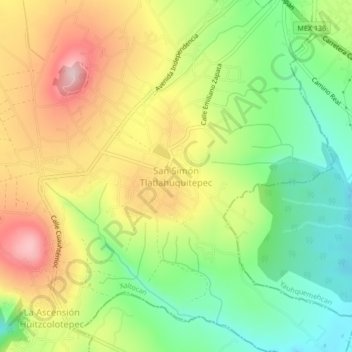
San Simón Tlatlahuquitepec topographic map
Interactive map
Click on the map to display elevation.
About this map
Name: San Simón Tlatlahuquitepec topographic map, elevation, terrain.
Location: San Simón Tlatlahuquitepec, Xaltocan, Tlaxcala, México (19.37917 -98.24194 19.41917 -98.20194)
Average elevation: 8,196 ft
Minimum elevation: 7,805 ft
Maximum elevation: 8,665 ft
Other topographic maps
Click on a map to view its topography, its elevation and its terrain.