
Chapingo topographic map
Interactive map
Click on the map to display elevation.
About this map
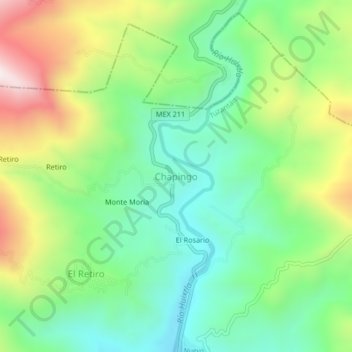
Name: Chapingo topographic map, elevation, terrain.
Location: Chapingo, Tuzantán, Chiapas, México (15.19638 -92.43565 15.23638 -92.39565)
Average elevation: 1,631 ft
Minimum elevation: 712 ft
Maximum elevation: 3,291 ft