
Payuta topographic map
Interactive map
Click on the map to display elevation.
About this map
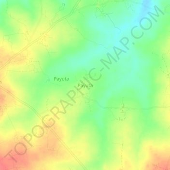
Name: Payuta topographic map, elevation, terrain.
Location: Payuta, Gulu, Northern Region, Uganda (2.94574 32.40443 2.98574 32.44443)
Average elevation: 3,314 ft
Minimum elevation: 3,225 ft
Maximum elevation: 3,406 ft
Other topographic maps
Click on a map to view its topography, its elevation and its terrain.