
Laligurans topographic map
Interactive map
Click on the map to display elevation.
About this map
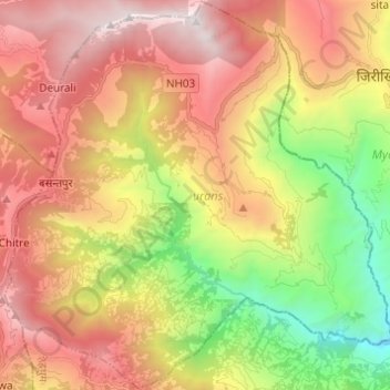
Name: Laligurans topographic map, elevation, terrain.
Location: Laligurans, Tehrathum, Province #1, Nepal (27.07600 87.39184 27.18400 87.51393)
Average elevation: 5,912 ft
Minimum elevation: 1,909 ft
Maximum elevation: 9,810 ft