
Navalcarnero topographic map
Interactive map
Click on the map to display elevation.
About this map
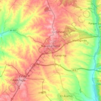
Name: Navalcarnero topographic map, elevation, terrain.
Location: Navalcarnero, Comarca Sur, Comunidad de Madrid, 28600, España (40.22563 -4.08804 40.33915 -3.93694)
Average elevation: 2,028 ft
Minimum elevation: 1,781 ft
Maximum elevation: 2,234 ft