
La Sabina topographic map
Interactive map
Click on the map to display elevation.
About this map
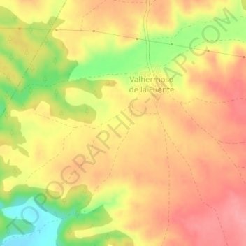
Name: La Sabina topographic map, elevation, terrain.
Average elevation: 2,631 ft
Minimum elevation: 2,431 ft
Maximum elevation: 2,746 ft
Other topographic maps
Click on a map to view its topography, its elevation and its terrain.
Fuente Sabina
España > Castilla-La Mancha > Valhermoso de la Fuente > Valhermoso de la Fuente
Fuente Sabina, Valhermoso de la Fuente, Cuenca, Castilla-La Mancha, España
Average elevation: 2,697 ft