
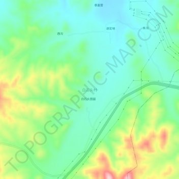
白石头村 topographic map
Interactive map
Click on the map to display elevation.
About this map
Name: 白石头村 topographic map, elevation, terrain.
Location: 白石头村, Ulanqab, Innere Mongolei, China (40.99546 112.99009 41.03546 113.03009)
Average elevation: 4,852 ft
Minimum elevation: 4,623 ft
Maximum elevation: 5,358 ft