
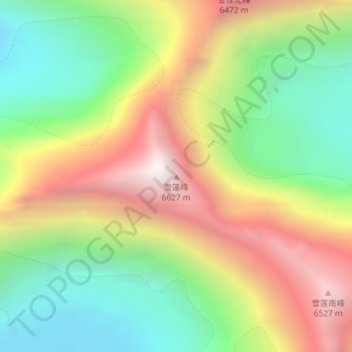
雪蓮峰 topographic map
Interactive map
Click on the map to display elevation.
About this map
Name: 雪蓮峰 topographic map, elevation, terrain.
Location: 雪蓮峰, 拜城县, Regierungsbezirk Aksu, Xinjiang, China (42.26201 80.89036 42.26211 80.89046)
Average elevation: 19,055 ft
Minimum elevation: 16,995 ft
Maximum elevation: 21,703 ft