
Thank you for supporting this site ❤️
Make a donation
Make a donation
Gear up for your next adventure:
As an Amazon Associate, this site earns from qualifying purchases at no extra cost to you.
Huayhuash topographic map
Click on the map to display elevation.
Thank you for supporting this site ❤️
Make a donation
Make a donation
Gear up for your next adventure:
As an Amazon Associate, this site earns from qualifying purchases at no extra cost to you.
About this map
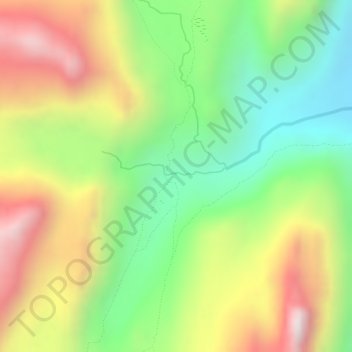
Name: Huayhuash topographic map, elevation, terrain.
Location: Huayhuash, Jesús, Province of Lauricocha, Huánuco, Peru (-10.33771 -76.85280 -10.31771 -76.83280)
Average elevation: 14,780 ft
Minimum elevation: 13,691 ft
Maximum elevation: 16,001 ft
Thank you for supporting this site ❤️
Make a donation
Make a donation
Gear up for your next adventure:
As an Amazon Associate, this site earns from qualifying purchases at no extra cost to you.