
Kampung Stesyen topographic map
Interactive map
Click on the map to display elevation.
About this map
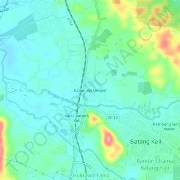
Name: Kampung Stesyen topographic map, elevation, terrain.
Average elevation: 171 ft
Minimum elevation: 85 ft
Maximum elevation: 443 ft
Other topographic maps
Click on a map to view its topography, its elevation and its terrain.
Kampung Sungai Masin
Malaysia > Selangor > Batang Kali
Kampung Sungai Masin, Batang Kali, Hulu Selangor, Selangor, 44300, Malaysia
Average elevation: 197 ft