
Aïn Fares topographic map
Interactive map
Click on the map to display elevation.
About this map
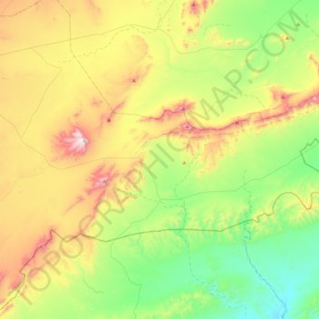
Name: Aïn Fares topographic map, elevation, terrain.
Location: Aïn Fares, Daïra Aïn El Melh, M'Sila, Algérie (34.65254 4.28342 34.83319 4.71018)
Average elevation: 2,533 ft
Minimum elevation: 1,470 ft
Maximum elevation: 4,380 ft