
Salat topographic map
Interactive map
Click on the map to display elevation.
About this map
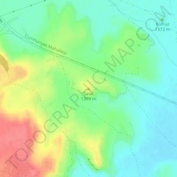
Name: Salat topographic map, elevation, terrain.
Location: Salat, Tomarza, Région de l'Anatolie centrale, Turquie (38.42864 35.83549 38.42874 35.83559)
Average elevation: 4,531 ft
Minimum elevation: 4,452 ft
Maximum elevation: 4,659 ft
Other topographic maps
Click on a map to view its topography, its elevation and its terrain.