
Leo Creek topographic map
Interactive map
Click on the map to display elevation.
About this map
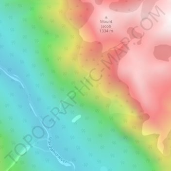
Name: Leo Creek topographic map, elevation, terrain.
Location: Leo Creek, Westland District, West Coast, New Zealand (-43.65278 169.71275 -43.63822 169.73079)
Average elevation: 2,133 ft
Minimum elevation: 272 ft
Maximum elevation: 4,652 ft