
Crocker topographic map
Interactive map
Click on the map to display elevation.
About this map
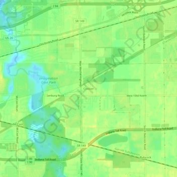
Name: Crocker topographic map, elevation, terrain.
Location: Crocker, Porter County, Indiana, USA (41.56809 -87.14226 41.60809 -87.10226)
Average elevation: 636 ft
Minimum elevation: 597 ft
Maximum elevation: 659 ft