
South Grafton topographic map
Interactive map
Click on the map to display elevation.
About this map
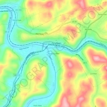
Name: South Grafton topographic map, elevation, terrain.
Average elevation: 1,214 ft
Minimum elevation: 948 ft
Maximum elevation: 1,562 ft
Other topographic maps
Click on a map to view its topography, its elevation and its terrain.
Blueville
United States > West Virginia > Taylor County > Grafton
Blueville, Grafton, Taylor County, West Virginia, 26354, United States
Average elevation: 1,273 ft