
White Horse topographic map
Interactive map
Click on the map to display elevation.
About this map
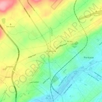
Name: White Horse topographic map, elevation, terrain.
Average elevation: 472 ft
Minimum elevation: 292 ft
Maximum elevation: 728 ft
Other topographic maps
Click on a map to view its topography, its elevation and its terrain.
Hagersville
United States > Pennsylvania > Bucks County > East Rockhill
Hagersville, East Rockhill, Bucks County, Pennsylvania, 18911, United States
Average elevation: 433 ft