
FELDA Padang Piol topographic map
Interactive map
Click on the map to display elevation.
About this map
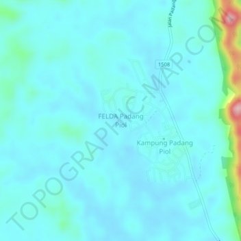
Name: FELDA Padang Piol topographic map, elevation, terrain.
Location: FELDA Padang Piol, Jerantut, Pahang, 27040, Malaysia (4.01716 102.35529 4.05716 102.39529)
Average elevation: 243 ft
Minimum elevation: 161 ft
Maximum elevation: 860 ft