
Marion topographic map
Interactive map
Click on the map to display elevation.
About this map
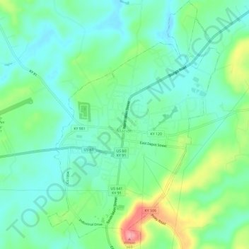
Name: Marion topographic map, elevation, terrain.
Location: Marion, Crittenden County, Kentucky, USA (37.31096 -88.09911 37.35703 -88.05903)
Average elevation: 597 ft
Minimum elevation: 499 ft
Maximum elevation: 840 ft