
መራሮ / Meraro topographic map
Interactive map
Click on the map to display elevation.
About this map
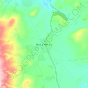
Name: መራሮ / Meraro topographic map, elevation, terrain.
Location: መራሮ / Meraro, Arsi, Oromia, Äthiopien (7.36795 39.20175 7.44795 39.28175)
Average elevation: 9,948 ft
Minimum elevation: 9,452 ft
Maximum elevation: 11,135 ft