
Cup topographic map
Interactive map
Click on the map to display elevation.
About this map
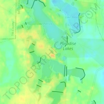
Name: Cup topographic map, elevation, terrain.
Location: Cup, Berrien County, Georgia, United States (31.39723 -83.36025 31.39814 -83.35938)
Average elevation: 299 ft
Minimum elevation: 259 ft
Maximum elevation: 344 ft
Other topographic maps
Click on a map to view its topography, its elevation and its terrain.
Nashville
United States > Georgia > Berrien County
Nashville, Berrien County, Georgia, 31639, United States
Average elevation: 230 ft
Ray City
United States > Georgia > Berrien County > Ray City
Ray City, Berrien County, Georgia, United States
Average elevation: 197 ft