
温水河 topographic map
Interactive map
Click on the map to display elevation.
About this map
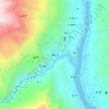
Name: 温水河 topographic map, elevation, terrain.
Location: 温水河, 金河村, 龙开口镇, 鹤庆县, 大理白族自治州, 云南省, 中国 (26.48347 100.38329 26.52347 100.42329)
Average elevation: 4,948 ft
Minimum elevation: 3,980 ft
Maximum elevation: 7,392 ft