
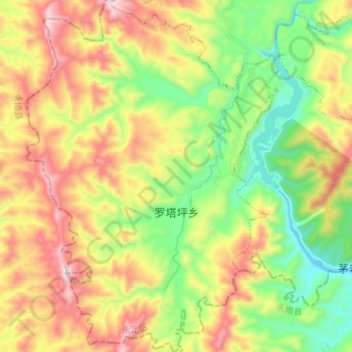
罗塔坪乡 topographic map
Interactive map
Click on the map to display elevation.
About this map
Name: 罗塔坪乡 topographic map, elevation, terrain.
Location: 罗塔坪乡, 永定区, 张家界市, 湖南省, 中国 (29.13806 110.06526 29.26092 110.16582)
Average elevation: 1,768 ft
Minimum elevation: 650 ft
Maximum elevation: 3,274 ft
Other topographic maps
Click on a map to view its topography, its elevation and its terrain.