
Maddox topographic map
Interactive map
Click on the map to display elevation.
About this map
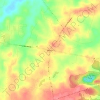
Name: Maddox topographic map, elevation, terrain.
Location: Maddox, Columbia County, Georgia, USA (33.51014 -82.30485 33.55014 -82.26485)
Average elevation: 367 ft
Minimum elevation: 220 ft
Maximum elevation: 472 ft