
Korshamn topographic map
Interactive map
Click on the map to display elevation.
About this map
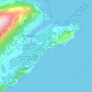
Name: Korshamn topographic map, elevation, terrain.
Location: Korshamn, Hjørungavåg, Hareid, Möre und Romsdal, 6063, Norwegen (62.32256 6.06058 62.36256 6.10058)
Average elevation: 144 ft
Minimum elevation: 0 ft
Maximum elevation: 1,647 ft