
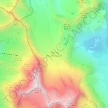
Glacier de Gébroulaz topographic map
Interactive map
Click on the map to display elevation.
About this map
Name: Glacier de Gébroulaz topographic map, elevation, terrain.
Average elevation: 9,560 ft
Minimum elevation: 7,956 ft
Maximum elevation: 11,591 ft
Other topographic maps
Click on a map to view its topography, its elevation and its terrain.
Le Châtelet
France > Auvergne-Rhône-Alpes > Savoie > Les Allues
Le Châtelet, Les Allues, Albertville, Savoie, Auvergne-Rhône-Alpes, France métropolitaine, 73550, France
Average elevation: 6,706 ft
La Petite Rosière
France > Auvergne-Rhône-Alpes > Savoie > Les Allues
La Petite Rosière, Les Allues, Albertville, Savoie, Auvergne-Rhône-Alpes, France métropolitaine, 73550, France
Average elevation: 6,385 ft