
马庄 topographic map
Interactive map
Click on the map to display elevation.
About this map
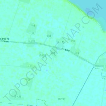
Name: 马庄 topographic map, elevation, terrain.
Location: 马庄, 泰安市, 山东省, 271000, 中国 (35.89178 116.12223 35.93178 116.16223)
Average elevation: 131 ft
Minimum elevation: 121 ft
Maximum elevation: 154 ft
Other topographic maps
Click on a map to view its topography, its elevation and its terrain.