
Airport Road topographic map
Interactive map
Click on the map to display elevation.
About this map
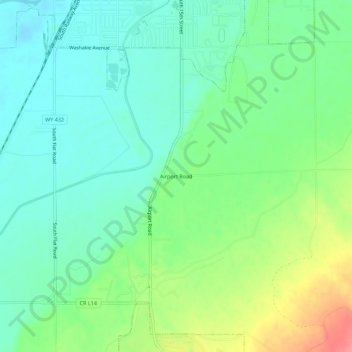
Name: Airport Road topographic map, elevation, terrain.
Location: Airport Road, Washakie County, Wyoming, 82401, USA (43.97329 -107.96926 44.01329 -107.92926)
Average elevation: 4,124 ft
Minimum elevation: 4,042 ft
Maximum elevation: 4,295 ft